Iceland’s Dramatic South Coast
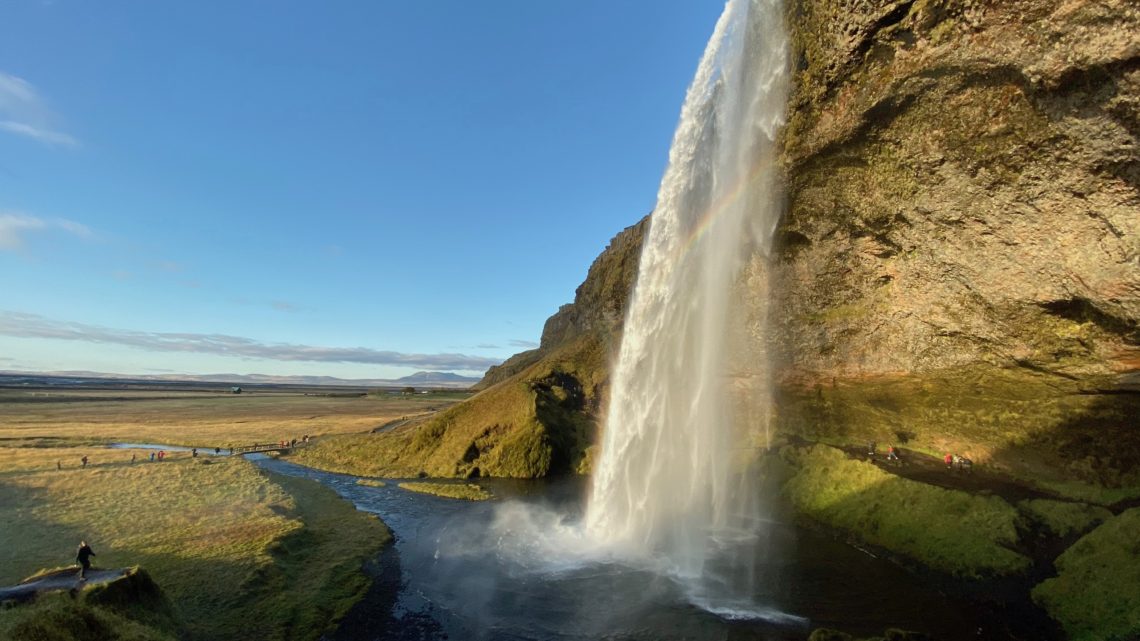
Throughout my Icelandic adventure, I stayed in Reykjavík, exploring the city and its surrounding areas. However, I discovered some of Iceland’s most breathtaking waterfalls, black sand beaches, and glaciers along its south coast. These wonders are located further away from Iceland’s capital city but are well worth the long day to explore. After my amazing Golden Circle tour with Reykjavík Excursions, I decided to book another tour with them for the south coast.
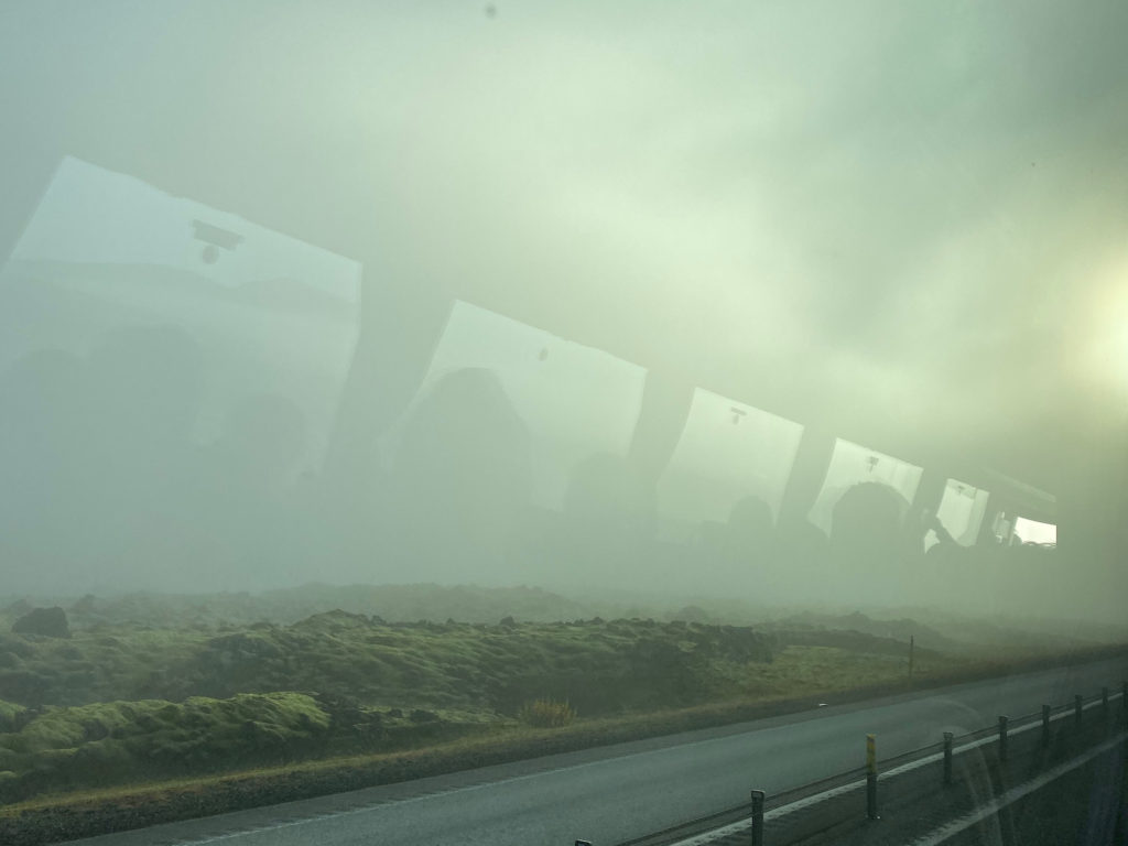
Unlike the Golden Circle tour, the south coast tour takes around 11 hours to complete, since a lot of time is spent driving between the different attractions. We set off early in the morning and began driving away from Reykjavík’s bustling city center. We passed through the same moon-like landscape that I had seen the day before. However, the weather conditions were much different on this day, at least around this area. The low-lying clouds almost completely obscured the visibility around the bus. As we climbed up the mountain, the clouds became thicker, and I temporarily lost hope about having good weather on this breathtaking tour.
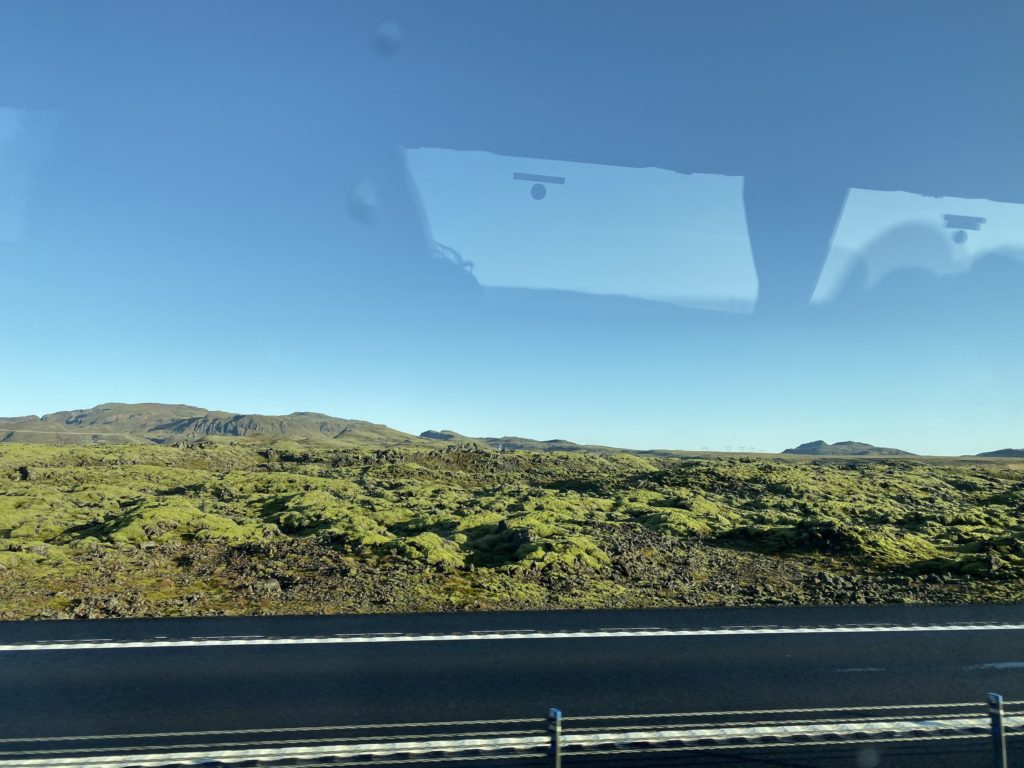
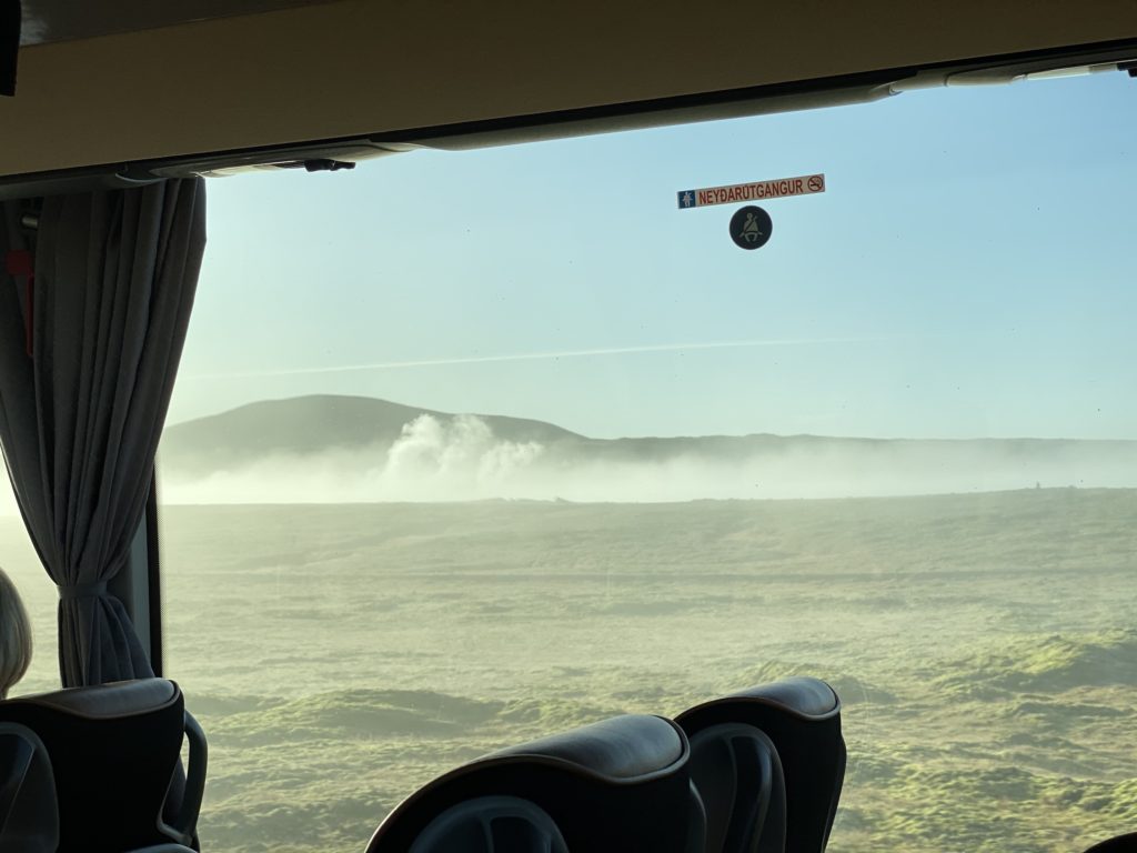
However, in the blink of an eye, the clouds gave way for a pristine clear sky above the mountain pass. The bus drove past low-lying clouds that sat on the ground like cotton candy. I had never experienced weather like this during my entire life. Iceland’s otherworldly nature certainly translates to its weather, which can change at a moment’s notice!
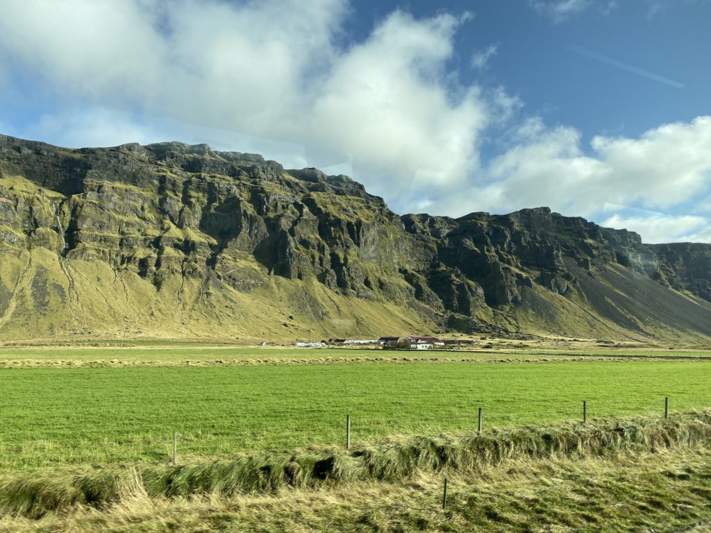
Once we left the pass, we were on the wide-open road along Iceland’s south coast. The road is surrounded by grassland, with jagged mountains on one side and the Atlantic Ocean on the other. I could spot many waterfalls along the mountains, which added to their mystical appearance. In the distance, our guide pointed out Seljalandsfoss, which we would visit later. We continued down the road towards the second major waterfall along this route: Skógafoss.
Skógafoss
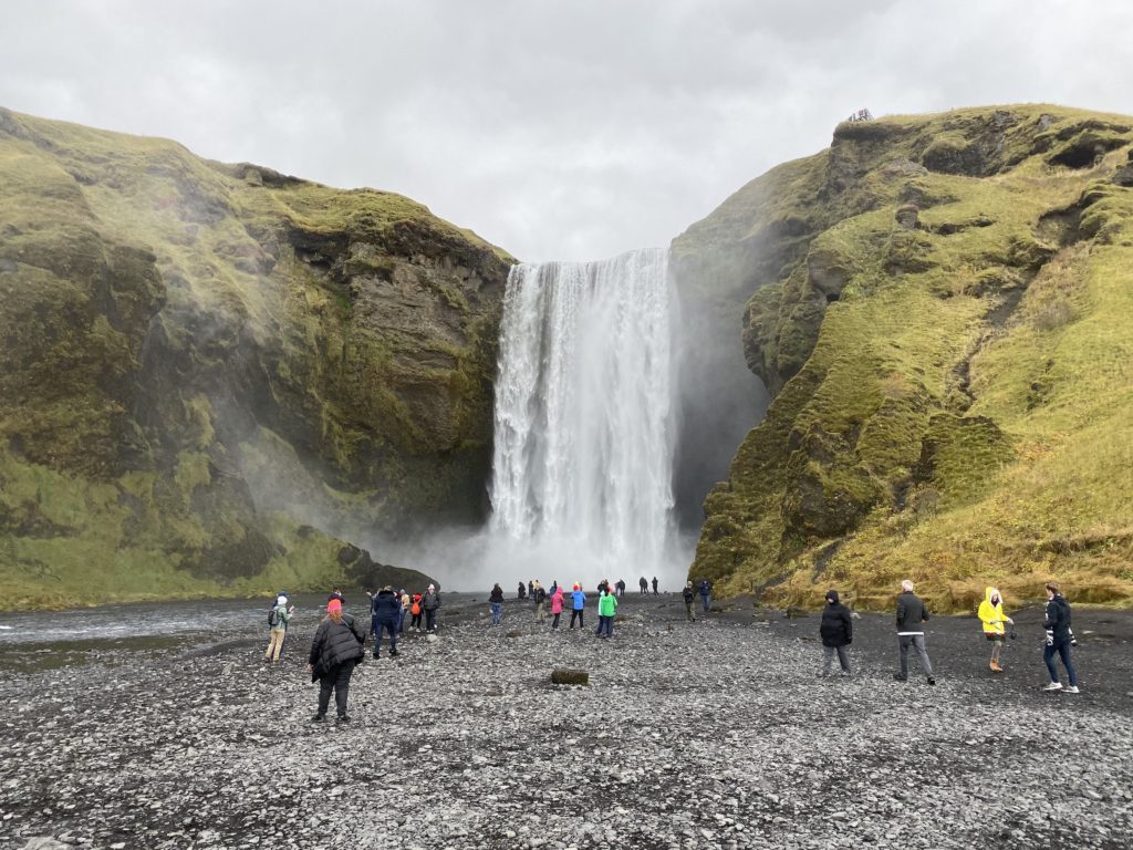
As the bus turned into the parking lot, I could see the mighty waterfall straight ahead. Skógafoss is one of Iceland’s largest waterfalls, at 200 feet high and 82 feet wide. From down below, I walked along a black-pebbled path directly to the falls. As I got up close, I could feel the mist blowing from the water that plummeted down the cliff in front of me. Legend has it that a Viking buried his treasure behind the falls. Locals apparently found the chest and tried to grab it, but only managed to grab its ring before the chest vanished agai. On clear days, a rainbow is visible in front of the falls. Unfortunately, the clouds had come back by the time we arrived, and I was unable to witness this.
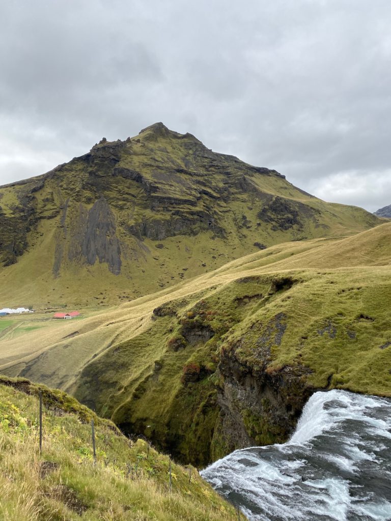
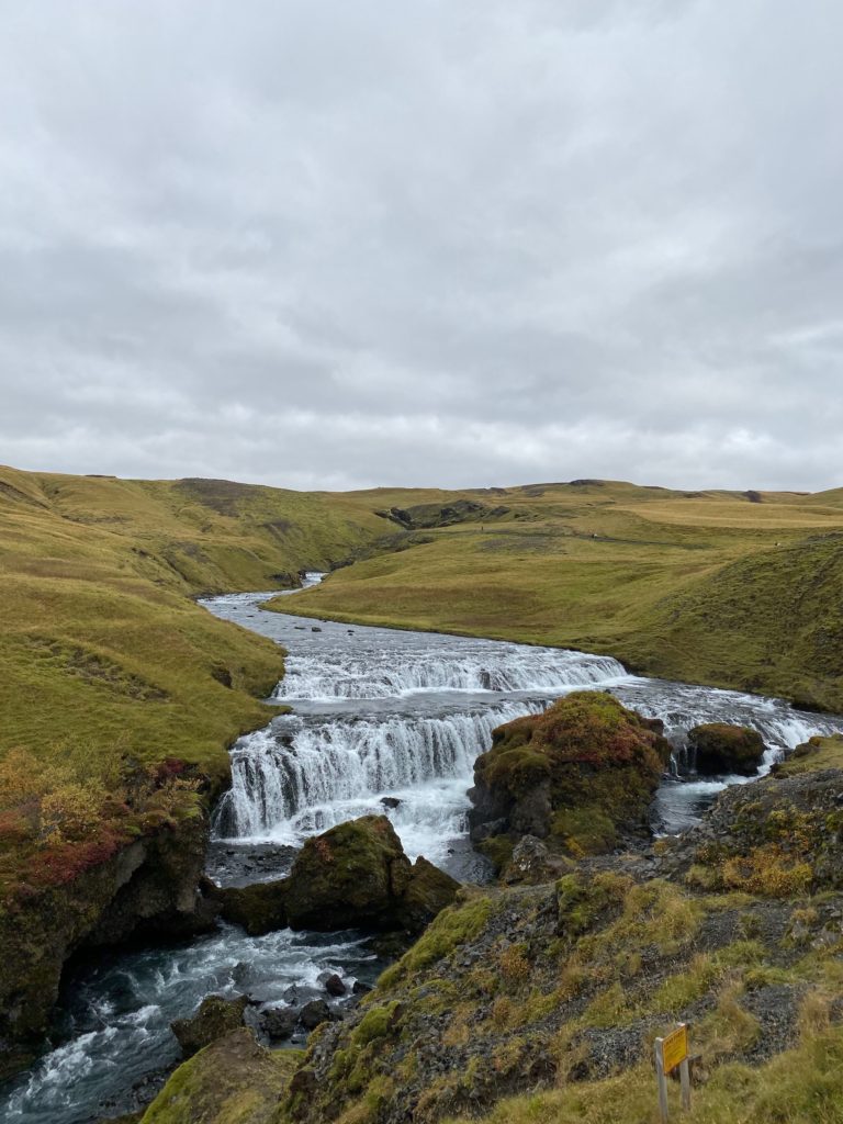
Next to the falls, I ascended a wooden staircase up the side of the cliff. I reached a platform, where I looked over for a picturesque view of the top of the waterfall. Although I did not have time to visit Snæfellsnes Peninsula, the mountain in the background was reminiscent of the iconic Kirkjufell, also known as the “arrowhead mountain” from Game of Thrones. From here, the path continued along the river above the main falls. I could see straight into the distance across Iceland’s barren highlands. A small cascading waterfall, which looks like a mini Gullfoss, is nestled within the upper river. The source of this river originates from melting glaciers, and as a result, this is some of the purest water on the planet. I refilled my water bottle at the bottom of the falls before getting back on the bus to continue my south coast adventure.
Reynisfjara Beach
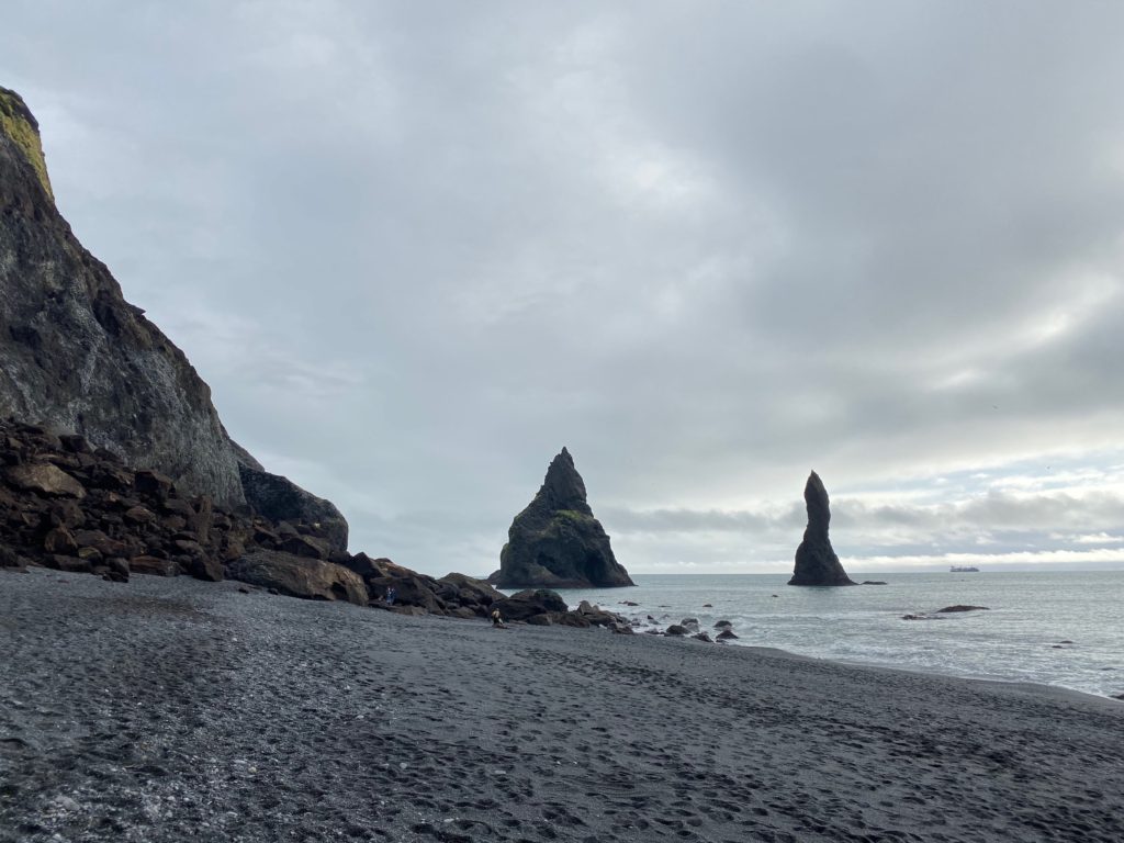
The bus continued down the road for another half hour, passing some more alien-like landscapes before reaching the tour’s next stop at Reynisfjara Beach. This black sand beach is regarded as one of the most beautiful non-tropical beaches in the entire world. Much like the beaches on Santorini, the sand here gets its black color from the island’s volcanic activity. The waves here are fierce, as they come uninterrupted all the way from Antarctica! Visitors are advised to keep a close eye and never turn their back towards the water. From the beach, I could see two rock formations just off-shore. According to Icelandic folklore, these rocks are the remains of two trolls who became frozen in the daylight while heading out to sea.
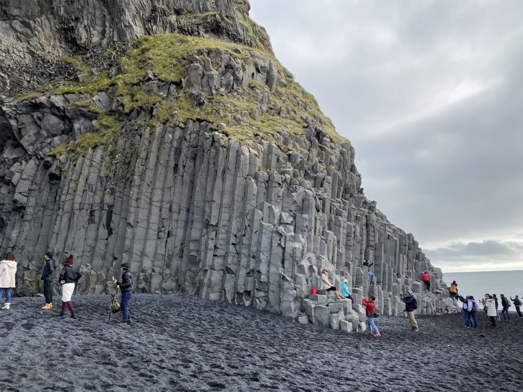
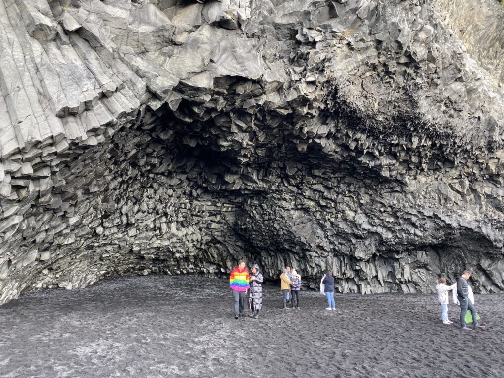
Along the beach, I got my first ever look at some basalt rock formations. I climbed up onto these large, hexagonal stacks, where I got a panoramic view of the expansive beach. The basalt rocks form a cave-like opening. Legend says that this was a monster’s lair before a landslide sealed the entrance. I spent a good 45 minutes walking along the beach and feeling the Atlantic breeze. From here, it was just a short bus ride through a sweeping valley before arriving at our lunch stop in Vík.
Vík
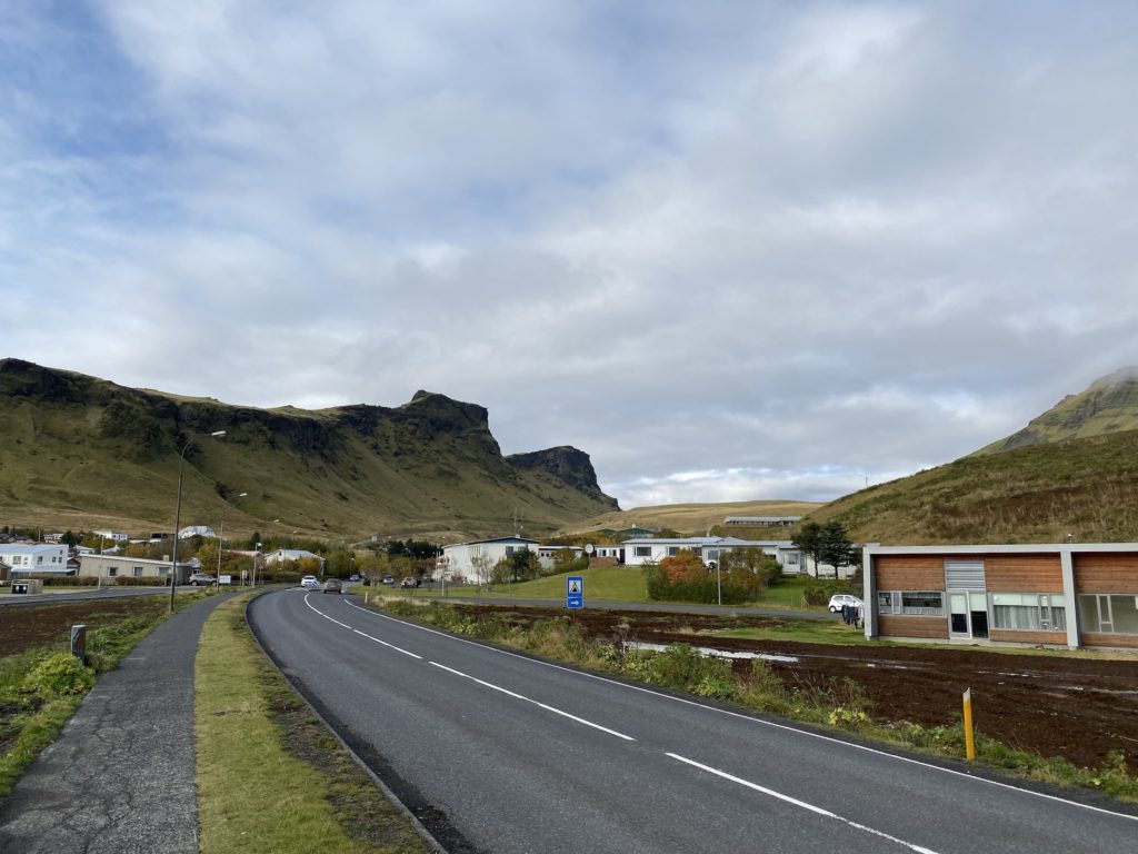
This beachside village is the southernmost settlement on the island. It is a small collection of buildings located beside dramatic cliffs and black sands. Our stop here included time for lunch, as well as time to explore. After a quick bite to eat, I wandered around the village. The architectural style of the town’s buildings is similar to that of Reykjavík, with corrugated metal as the primary material for both the walls and roofs. The houses contain simple, linear windows.
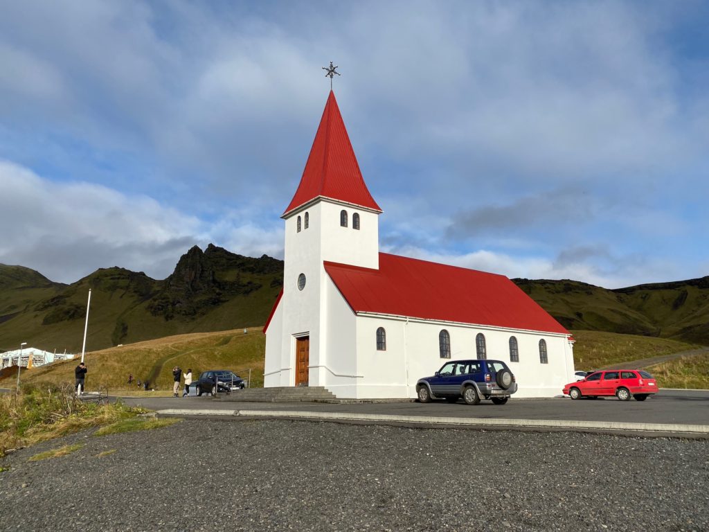
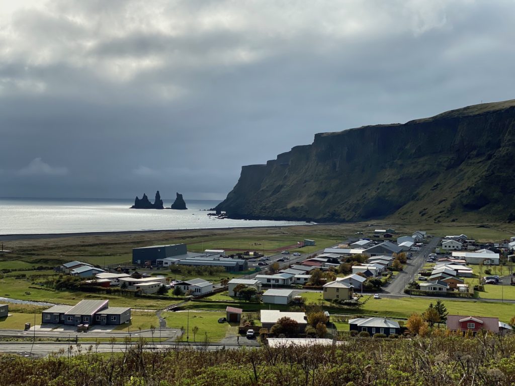
From the main road, it was a short hike up to the most iconic building in the village: Víkurkirkja. Vík’s church, like many others in Iceland, is minimalist and colorful. This one has a bright red roof and a prominent steeple that makes it stand out at the top of its hill. The church boasts some impressive stained glass windows that, unfortunately, I was unable to see from the outside. From here, the views across the village were breathtaking. I could see all the way out to the sea stacks at Reynisfjara.
Sólheimajökull
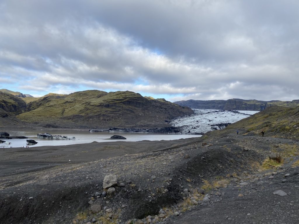
After our stop in Vík, it was time to turn around and head back towards Reykjavík, but not without stopping at two more important sites along the south coast. We drove for another half hour before turning off the main road again. This time, we were at the base of Iceland’s fourth largest glacier: Mýrdalsjökull. The ice cap of this glacier covers one of the island’s most dangerous volcanoes: Kalta. Scientists have been monitoring it since the eruption of the nearby Eyjafjallajökull, which heavily disrupted European flight traffic in 2010. The portion of the glacier that filled the valley in front of us is known as Sólheimajökull.
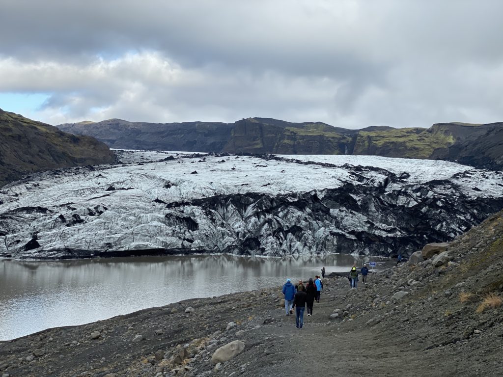
From the parking lot, I began my hike towards the glacier, which I could see in the distance nestled between two mossy volcanic mountains. Once I arrived, I was struck by how much ash was on the ice. This was leftover from the eruption of Eyjafjallajökull that happened nine and a half years prior to my visit. Unlike the snow-capped mountains I saw in Peru, the ice of this glacier appeared more solid, with cracks spread across the whole sheet. A few members of our tour group opted to climb the glacier, which required special footwear and a local guide. However, I simply admired the nature around me and was truly impressed by my first ever glacier visit.
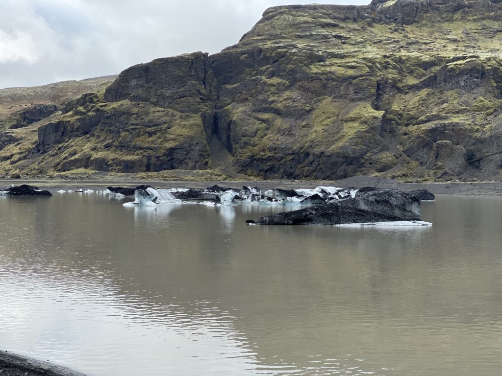
On my hike back, I decided to walk along the water just in front of the glacier. Within the water, I could see chunks of ashy ice floating away from the glacier. While not as picturesque as Diamond Beach, this view still gave me the same charm of seeing icebergs float out towards the sea. Ten years ago, the
Seljalandsfoss
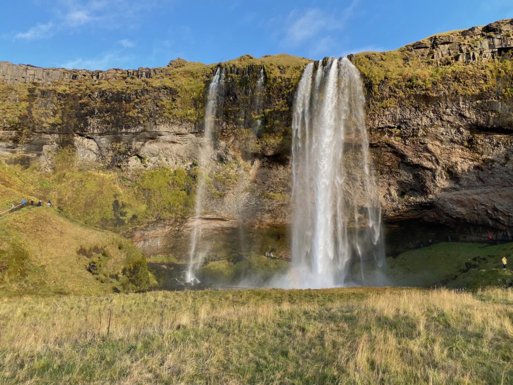
It was late afternoon as we got back on the bus and headed to our final stop at Seljalandsfoss. We had previously past this waterfall right before our first stop at Skógafoss but decided to hold off on visiting until the crowds had left. Our group also got extremely lucky with the weather, as the clouds had disappeared and the sun was out in full swing. This waterfall is by far my favorite in all of Iceland! From the front, the falls appear narrow as they plunge from the 200-foot high cliff above. The plume from the falls creates a rainbow in the sunlight. However, what makes this waterfall especially unique is the ability to walk behind it.
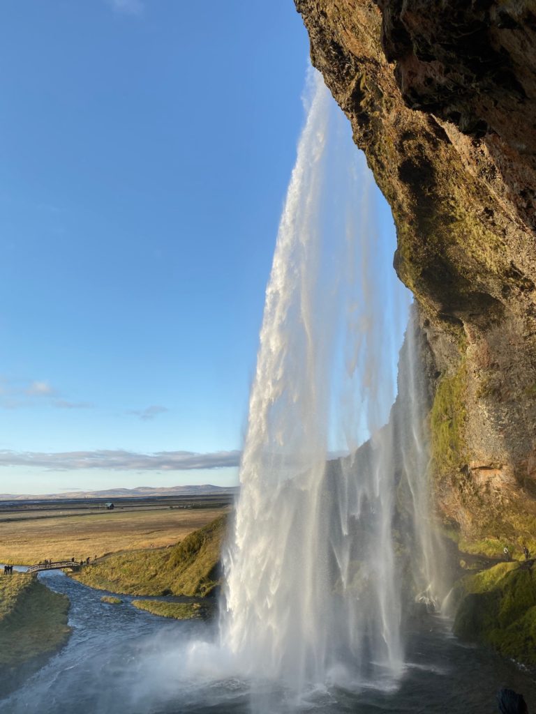
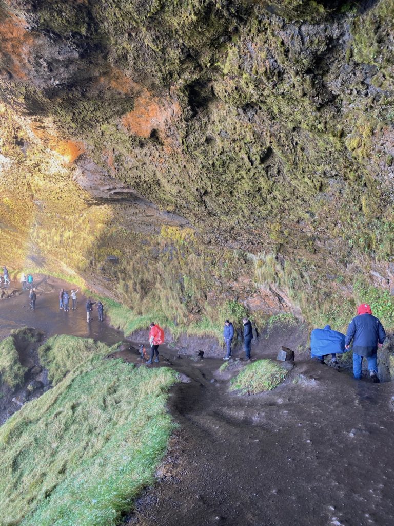
I followed the path from the main viewing area up and around to the side of the falls. From here, I experienced the waterfall at a unique angle, with a view of the horizon in the background. Since the plume from the falls was only just in front of me, it made for quite a wet journey behind the falls. I had to closely watch my step on the damp dirt path to make sure I did not slip and fall. The cave behind the falls is made of moss-covered rock and provides the perfect location for breathing in the mist from the plume. I continued around the back of the falls and ascended up some basalt rock, where I got one more view of the picturesque waterfall along the grass-covered cliffs.
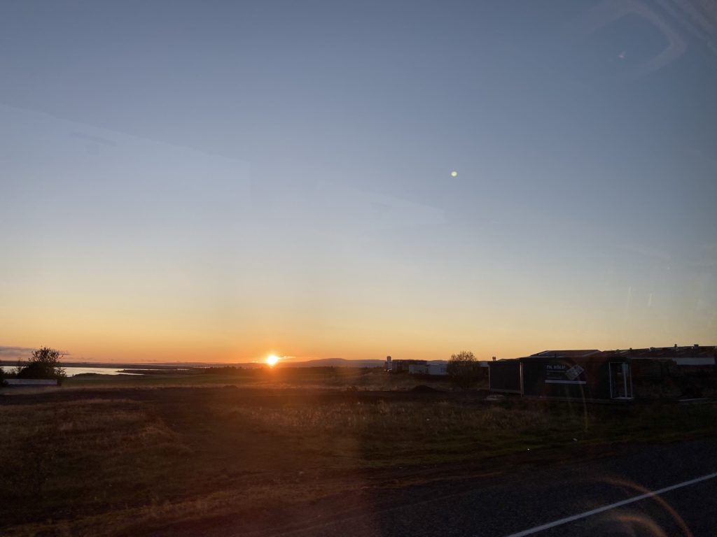
After our stop at this waterfall, it was time to head back into Reykjavík. We drove past a beautiful sunset as we hit the highway back towards the city. My time in Iceland was nothing less than magical. Each and every wonder, from the island’s naturally-inspired architecture, geothermal activity, and beautiful waterfalls made this place feel like another planet. However, the highlight of my trip was definitely the south coast. This jaw-dropping part of the island is home to the best waterfalls, black-sand beaches, and mountain scenery in the whole country.

2origins
2industry
someone to write my paper for me https://term-paper-help.org/
customized paper https://sociologypapershelp.com/
pay people to write papers https://uktermpaperwriters.com/
need help with paper https://paperwritinghq.com/
custom thesis papers https://writepapersformoney.com/
buy custom papers online https://write-my-paper-for-me.org/
do my paper for me https://doyourpapersonline.com/
help with writing papers https://researchpaperswriting.org/
write my papers discount code https://cheapcustompaper.org/
buy college paper online https://writingpaperservice.net/
buy a paper for college https://buyessaypaperz.com/
papers writing help https://mypaperwritinghelp.com/
where can i buy resume paper https://writemypaperquick.com/
order paper online https://essaybuypaper.com/
write my paper please https://papercranewritingservices.com/
custom handwriting paper https://premiumpapershelp.com/
custom written papers https://ypaywallpapers.com/
best paper writing service reviews https://studentpaperhelp.com/
2accentuated
design technology coursework https://brainycoursework.com/
coursework online https://courseworkninja.com/
coursework help https://writingacoursework.com/
coursework psychology https://mycourseworkhelp.net/
coursework paper https://courseworkdownloads.com/
do my coursework online https://courseworkinfotest.com/
do my coursework for me https://coursework-expert.com/
coursework plagiarism https://teachingcoursework.com/
coursework sample of written work https://buycoursework.org/
coursework online https://courseworkdomau.com/
online dating best sites free https://freewebdating.net/
meet me dating site free https://jewish-dating-online.net/
meet european singles in usa https://jewish-dating-online.net/
dating match https://free-dating-sites-free-personals.com/
mature dating https://onlinedatingsurvey.com/
tinder login https://onlinedatingsuccessguide.com/
online ukraine dating https://onlinedatinghunks.com/
dating personals https://datingwebsiteshopper.com/
free date web sites https://allaboutdatingsites.com/
match dating website https://freedatinglive.com/
[…] clindamicina gel[…]
clindamicina gel